Climbing Hoverla: the Routes
20 July 2021
Hoverla is the highest point of the Ukrainian Carpathians and Ukraine in general. Despite the fact that its peak is located at 2061 metres above sea level, the climb does not require any special preparation. The fatigue from such an intense walk will quickly pass, and the pride that you were able to conquer the height and test your own strength will remain for life. However, to make the journey to Hoverla not too difficult, it is important to choose the right route. Here you need to pay attention to your own physical fitness and the most convenient starting point.
Official routes
There are many routes to the mountain. All of them are mostly marked by the Carpathian Trails tourist association. Let’s consider the most popular and interesting options for climbing Hoverla.
Tourist base “Zaroslyak”
The tourist centre “Zaroslyak” is located at an altitude of 1300 m, so it is often chosen as the starting point of the climb. From this base, 4 marked routes of different levels of difficulty and distance start. Let’s describe them in more detail.
Red route to Hoverla from Zaroslyak
The red route starts at the same point as the green route, but the most difficult trail will lead hikers all the way to Dzembrona. That is, they will reach Hoverla and continue along the entire ridge.
Green route to Hoverla
The green trail to Hoverla is considered relatively easy. The total length of the route to Hoverla is 4.3 km, which can be covered in 2.5-3 hours. This route is considered the best for the first conquest of the peak. Moreover, you can set off with a guide or on your own. There are a lot of markings along the entire route, so it is almost impossible to get lost.
Hoverla: the blue route
If you are interested in the shortest way to the top of Hoverla, pay attention to the blue route. At the same time, it is the most difficult. The distance from the base to the top is only 3.7 km, which can be covered in 2 hours. However, the path is quite steep, so people with chronic illnesses and children may have difficulty on the way. There are fewer tourists here than on the first two trails, but if you are looking for solitude, it is better to choose a weekday for your trip.
Yellow route to Hoverla
The trail is a good choice for those who want to see several local natural attractions. Going up from Zaroslyak along the yellow route, overcoming gentle traverses, you will find yourself near Lake Nesamovyte. Then you should turn to the red trail, which will lead you to the top of Pozhyzhevsk, Bleskul, and then to Hoverla. You can return to the base on the green or blue trail. But keep in mind that it will take 2 days to conquer the yellow route and a tent to spend the night in the mountains.
Formally, each of these trails starts from Vorokhta. Most travellers make their way to Zaroslyak by taxi.
Lazeshchyna – Hoverla (via Kozmieszczyk)
You can also get to Hoverla from Lazeshchyna. This route is not difficult and is designed for 2-3 days at a moderate speed. Its length reaches 17.2 km. The starting point is the railway station. The route is marked in yellow and passes through the Kozmeschyk tourist shelter, which leads directly to the top of Hoverla. During the journey, tourists can admire the springs, visit museums and traditional huts. After reaching the top of the mountain, you can go down to the Zaroslyak recreation centre, see Lake Nesamovyte or Mount Petros.
The blue route starts from the foot of Petros, where you should turn to the red trail leading to Hoverla.
Kvasy – Hoverla (via Petros)
The route to Hoverla starts in the village of Kvasy, where there is a railway station, which makes it easy to get to the starting point. In addition, there are springs with healing mineral water – you can quench your thirst and gain strength before starting your journey. The length of this route is 30 km, so it is recommended to plan 2-3 days for it. Despite the fact that the trip does not involve high-speed climbing or steep sections, it will be of interest mainly to experienced tourists, as it requires conquering two peaks: Petros (2020 m) and Hoverla (2060 m).
Unofficial routes
If you feel confident among the Carpathian Mountains, you will be interested to know about the most stunning routes to Hoverla, which are laid by enthusiasts. These routes are not officially marked, so it is better to have a map for every turn or fork that you will encounter during your trip.
- The route “Kukul – Hoverla” is about 9 km long. Starting the journey early in the morning, you can cover the distance in a day. The starting point is Mount Kukul – its conquest will be a separate adventure for you. The trail passes through the former Polish-Czech border and for a long time was impassable due to thick snow. However, in 2020, volunteers cleared the way. The route is picturesque, but requires experience, as it passes along the top of a mountain range with constant changes in altitude.
- The route “s. Hoverla – Hoverla” has a distance of about 14 km, so you should take a tent with you in case you spend the night in the mountains. You can get to the village by taxi, bus or catching a ride. The main part of the route passes through the valley of the Carpathian Biosphere Reserve, where you can enjoy dense forests and picturesque nature. The trail will lead you to the Breskulska meadow, and then to the saddle located next to Mount Breskul. It is here that the direct ascent to Hoverla will begin, along a route that is difficult to get lost.
Winter routes to Hoverla
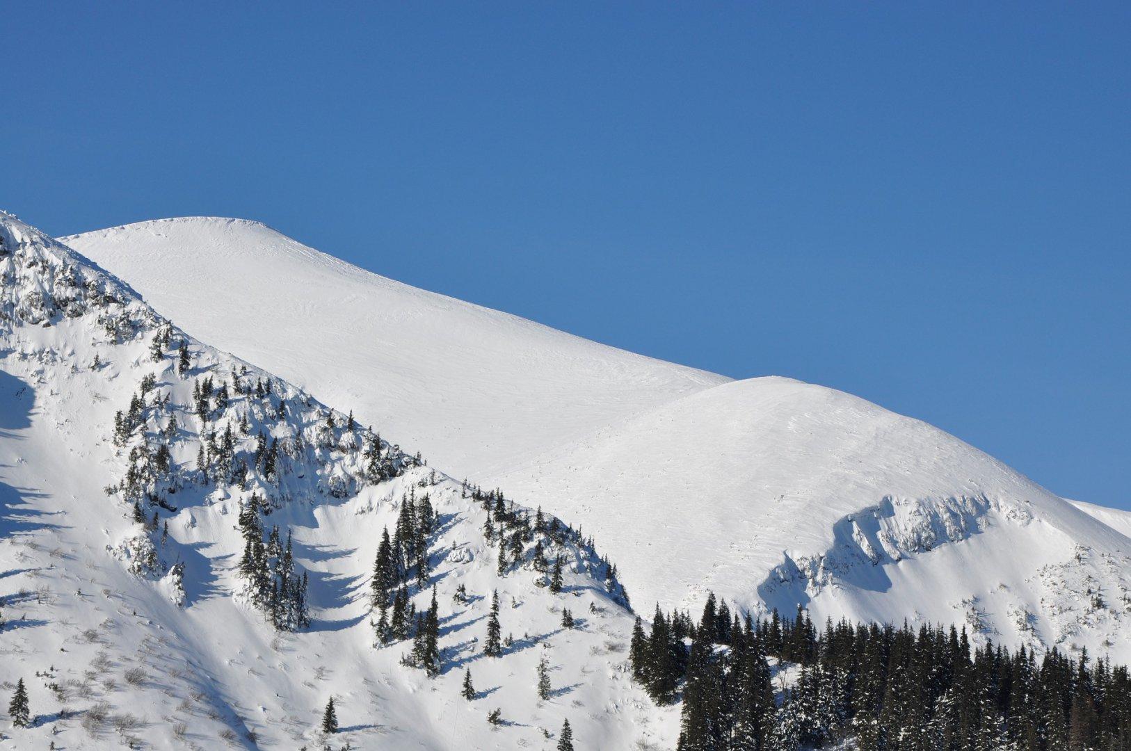
All of the above options for climbing Hoverla and their description are intended for tourists visiting the mountains in the warm season. However, sometimes you want to enjoy the beauty of the snow-capped mountains and find yourself in a winter fairy tale! However, hiking in the cold season is recommended only for experienced tourists and is best done with an instructor.
In addition to winter travel experience, it is important to have special clothing and equipment – from high-quality membrane boots to climbing crampons. Before setting out on the route, be sure to take a GPS navigator with you and register with the rescuers, providing them with the details of your trip.
Even if the journey from the foot of Hoverla to the summit seems easy for winter, you should not underestimate the dangers of the highlands: frost, winds, the risk of avalanches, snow drifts. You should avoid climbing to the top on traverses, as there is a high probability of falling off the slope.
In winter, the routes to the top of the Ukrainian Carpathians are less diverse. The safest route is from Kozmeschyk. Less convenient will be the ascent from Zaroslyak and only along the green path. It is recommended to postpone the start of the trip if the weather suddenly changes or heavy snowfall begins.
Regardless of the route you choose, you should take warm, lightweight clothing with you in winter. If you plan to spend the night in the mountains, take a thicker mattress and a gas burner for cooking.
How to get there?
When planning a hike to Hoverla with a route map drawn up in advance, it is important to decide how to get to the starting point. You can easily get to Vorokhta by train or intercity train, for example, from Kyiv, Odesa and other cities. Lazeshchyna and Kvasy can be reached only by suburban railway trains. You can also take a bus (direct or with a transfer) from Ivano-Frankivsk or Lviv to any of the Carpathian settlements where you plan to start your hike.
What to take with you on a hike to Hoverla?
First of all, you should pay attention to the clothes and shoes you plan to wear while climbing:
- thermal underwear – helps to remove moisture from the body, avoid overheating or hypothermia;
- windbreaker – protects from piercing gusts of wind and possible rain;
- fleece jacket – to replace a sweater in cold weather;
- a seasonal hat – to add comfort regardless of the weather;
- trekking shoes or non-slip boots/sneakers – do not get wet and reliably protect against injuries on stony areas and wet places.
If you are planning an overnight stop, be sure to take a tent with you. In the Carpathians, especially on popular routes, you can also find lodges for overnight stays, but there are not enough of them for everyone. Therefore, it is better to be safe and take everything you need to avoid getting into a difficult situation.
If you have enough time and are planning a route to Hoverla, consider staying for 1-2 days. This will allow you to visit natural attractions nearby and enjoy the beautiful scenery. Such a programme is also suitable for travelling with children, who will be less tired from hiking at a relaxed pace.
In the warm season, it is better to travel to Hoverla on weekdays when there are fewer tourists. In winter, it’s usually quiet here, except for holidays, so you can plan a trip at any convenient time. To fully enjoy the mountains, you should book a hotel room and visit the mineral springs, waterfalls, lakes and other interesting places in the region!


